the web page works
 POLAND
(previous update morning 15.07:
viewtopic.php?p=751783#p751783)
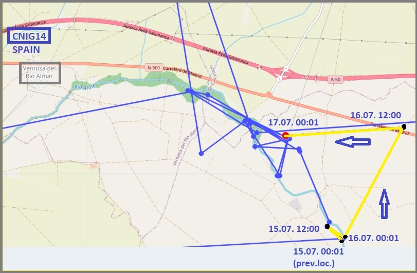
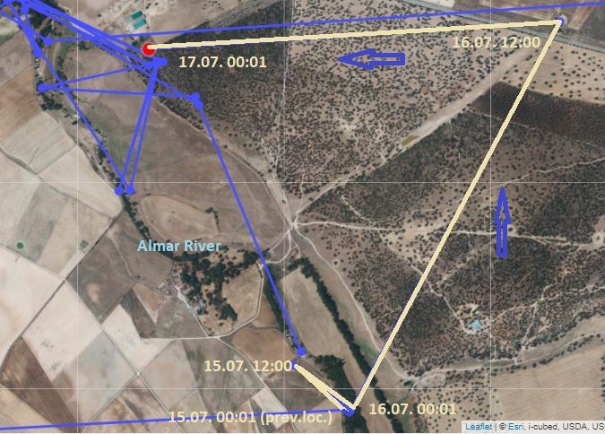
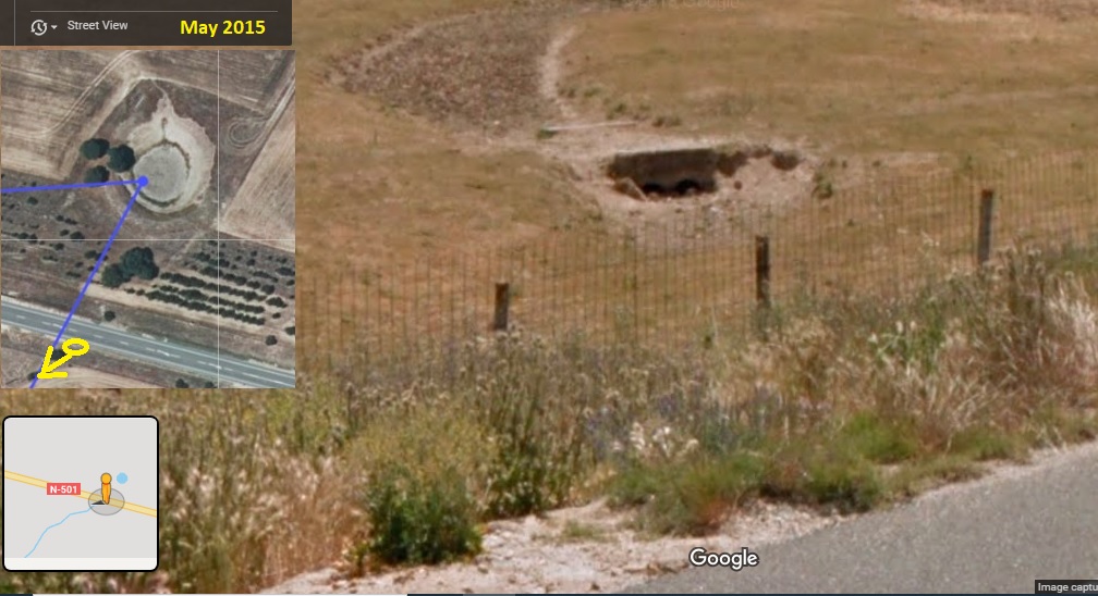
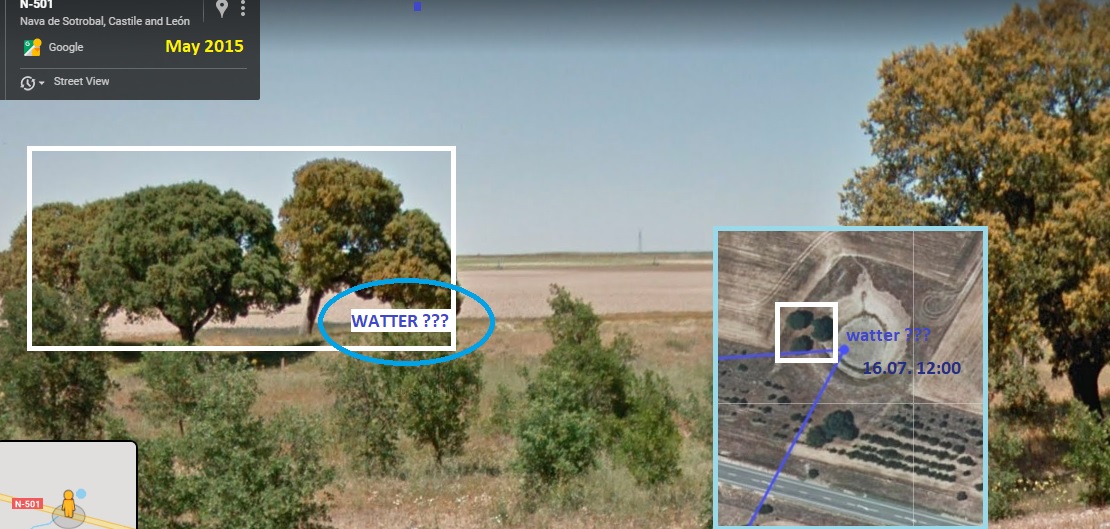
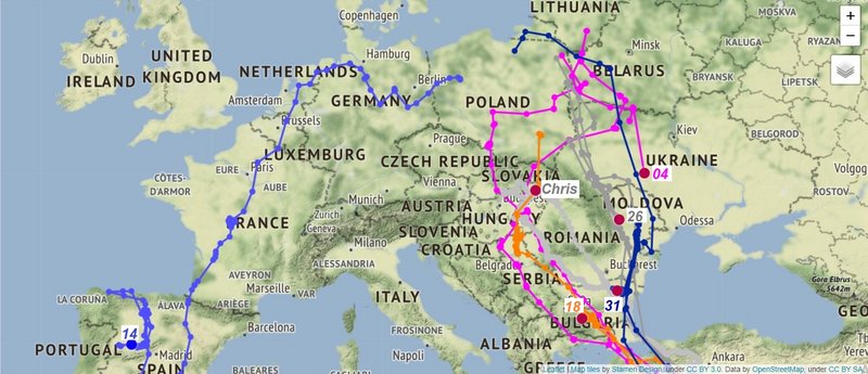 CNIG14
:
- stork flew from the last locasliation to new place north-east (big water tank?) and continued back to the river Almar, east from the Ventosa del Río Almar, town and municipality in the province of Salamanca, Castile and León, SPAIN (mindnight 16./17.07)
- edit: by Hana viewtopic.php?p=752577#p752577
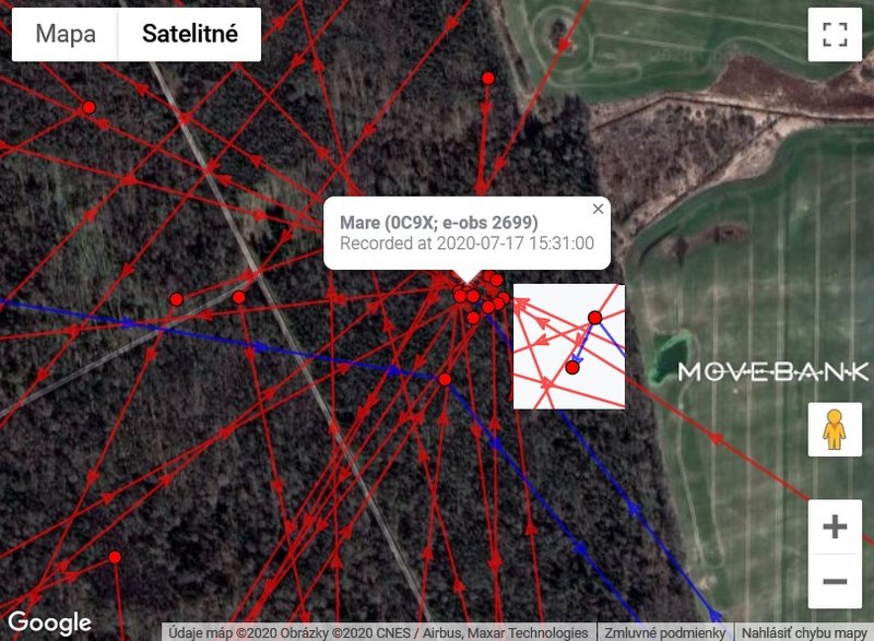
CHRIS:
- stork is still in Bodrogzug area; localisations are in the area the Nagy tó/Big Lake, east from the village Bodrogkisfalud, Tokaj District, Borsod-Abaúj-Zemplén County, Northern HUNGARY (16.07 - 18.25)
-
edit: by Hana viewtopic.php?p=752624#p752624
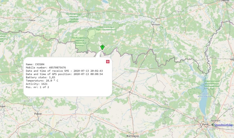
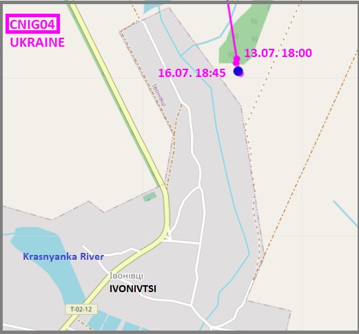
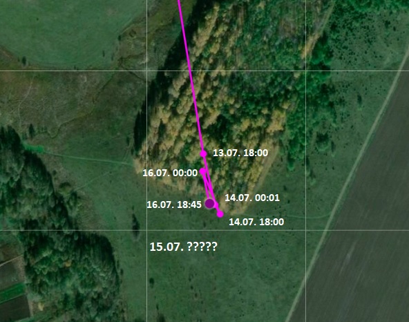
CNIG04:
- also the new localisations (some data is missing) are very close

; stork is near the village Ivonivtsi, Tyvriv Raion (district), Vinnytsia Oblast (region), in southwestern UKRAINE (16.07 - 18.45 h)
-
edit: by Hana viewtopic.php?p=752567#p752567
CNIG26:
- stork flew on July 15 long way to south; from south Ukraine to the Siret river area, between villages Bașta (west from river), Secuieni commune and Recea (east from river), Ion Creangă commune, Neamț County, (Western Moldavia), North East ROMANIA (17.07 - 6 h)
-
by Hana viewtopic.php?p=752613#p752613
CNIG31:
- stork flew from new place (long trip east from Kalinovo area) to west (long trip to new place), the newest localisation is not far from the village Yasenkov/Ясенково, Venets Municipality, Shumen Province, Northeastern BULGARIA
corrected, thanx Hana (midnight 16./17.07)
-
edit: by Hana viewtopic.php?p=752622#p752622
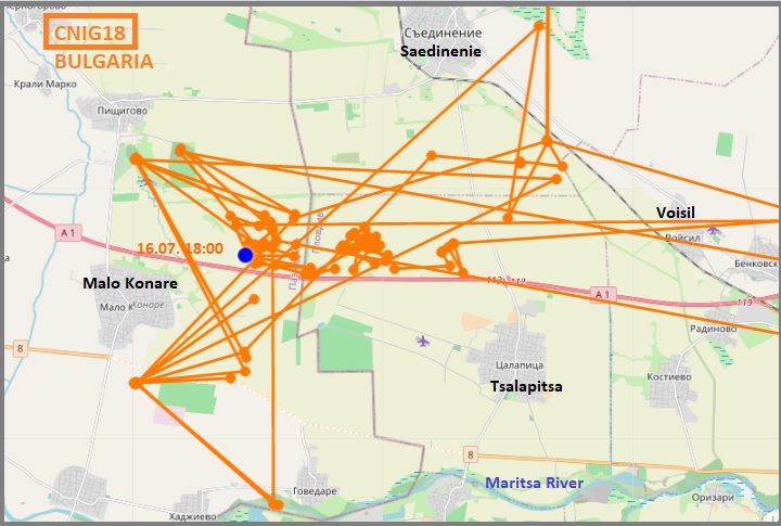
CNIG18:
- same area, same night-resting place; stork has localisations on the irrigated (maybe rice) fields, west from Voisil (Войсил) - a village in Maritsa Municipality, Plovdiv Province, southern BULGARIA (16.7 - 18 h)
-
edit: by Hana viewtopic.php?p=752587#p752587


