Black Stork Tracks

Migration Maps, Tõnn, Greater Spotted Eagle and Black Storks
Post Reply
User avatar
Liz01
Registered user
Posts: 81351
Joined: January 21st, 2014, 2:06 pm
Location: Germany

Re: Black Stork Tracks

Post by Liz01 »

We have new data by Mare

Mare is still at the same place. She has moved +4km
Image

Image

Image
User avatar
Liz01
Registered user
Posts: 81351
Joined: January 21st, 2014, 2:06 pm
Location: Germany

Post by Liz01 »

Her position at 24-08-18
Image
User avatar
Liz01
Registered user
Posts: 81351
Joined: January 21st, 2014, 2:06 pm
Location: Germany

Post by Liz01 »

August 26

Good Morning :hi:

New data by Eedi

Distance 1304km (+9km)

Second update 25-08-2018
Image

The terrain- a place for the night :shake:
Image

Image

If someone is interested. There is an tool.
Soaring birds sensitivity mapping tool /Soaring bird satellite track:
http://migratorysoaringbirds.undp.birdl ... tivity-map

https://maps.birdlife.org/MSBtool/?locale=en_US

Sudan "killer line" disconnected 2014 :
http://bspb.org/en/news/Nai-opasnata-el ... edena.html
Solo
Registered user
Posts: 23861
Joined: October 19th, 2015, 7:18 pm

Post by Solo »

Liz01 wrote: August 26th, 2018, 7:41 am ... If someone is interested. ...
:hi: Liz,
thank you very much for all :2thumbsup: .
I am interested :D
:wave:
User avatar
Liz01
Registered user
Posts: 81351
Joined: January 21st, 2014, 2:06 pm
Location: Germany

Post by Liz01 »

Solo wrote: August 26th, 2018, 2:57 pm :hi: Liz, ...
-nice, that you are back :laugh: :2thumbsup:

New Data by Eedi

Distance 1311km (+7km)
Image

Eedi is still in the same area
Image
Solo
Registered user
Posts: 23861
Joined: October 19th, 2015, 7:18 pm

Post by Solo »

another view by yandex
Image
EEDI today moving (1311-1304 = 7km)
Image
Solo
Registered user
Posts: 23861
Joined: October 19th, 2015, 7:18 pm

Post by Solo »

area 2 (first visited by Eedi) - wider view
Image

area 1 (later visited by Eedi) - wider view (near canals) and today last localisation (maybe on the way to night area)
Image
Solo
Registered user
Posts: 23861
Joined: October 19th, 2015, 7:18 pm

Post by Solo »

MARE goris.lv
today still without new data
Solo
Registered user
Posts: 23861
Joined: October 19th, 2015, 7:18 pm

Post by Solo »

Solo
Registered user
Posts: 23861
Joined: October 19th, 2015, 7:18 pm

Post by Solo »

north area - field
Image

path corection
Image

position on the field (drainage) - tree (?)
Image
Solo
Registered user
Posts: 23861
Joined: October 19th, 2015, 7:18 pm

Post by Solo »

MARE

new data :D - still in the area

Image

today morning area - Pripyat River (or Prypiat River)
Image

the morning area - Lyub'yazh Lake (Volyn Oblast, Ukraine)
Image
street view: https://goo.gl/maps/v7mouenHBZE2
Solo
Registered user
Posts: 23861
Joined: October 19th, 2015, 7:18 pm

Post by Solo »

Image

Image
yandex map
Image
Solo
Registered user
Posts: 23861
Joined: October 19th, 2015, 7:18 pm

Post by Solo »

EEDI and MARE
Image
Hellem
Registered user
Posts: 24973
Joined: June 28th, 2012, 4:33 pm
Location: Tallinn

Post by Hellem »

Solo wrote: August 27th, 2018, 7:13 pm EEDI and MARE
https://s22.postimg.cc/6550sois1/Eedi_plus_Mare.jpg
:wave: They both are enjoying the wetland of Pripjat River 8-)
Summi
Registered user
Posts: 3327
Joined: September 14th, 2009, 11:54 am
Location: Estonia

Post by Summi »

Who knows - Eedi and Mare in the same area may have had a :gathering: 8-)
Solo
Registered user
Posts: 23861
Joined: October 19th, 2015, 7:18 pm

Post by Solo »

Hellem wrote: August 27th, 2018, 8:18 pm:wave: They both are enjoying the wetland of Pripjat River 8-)
Image

MARE (Khotsun area) - Pryp'yat' river valley (IBA area) :thumbs: :D
"A river valley with meadows, lakes and forest tracts." (http://datazone.birdlife.org/site/facts ... ba-ukraine)
Image
http://datazone.birdlife.org/site/facts ... kraine/map


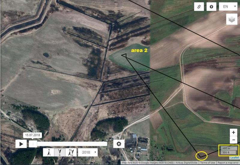
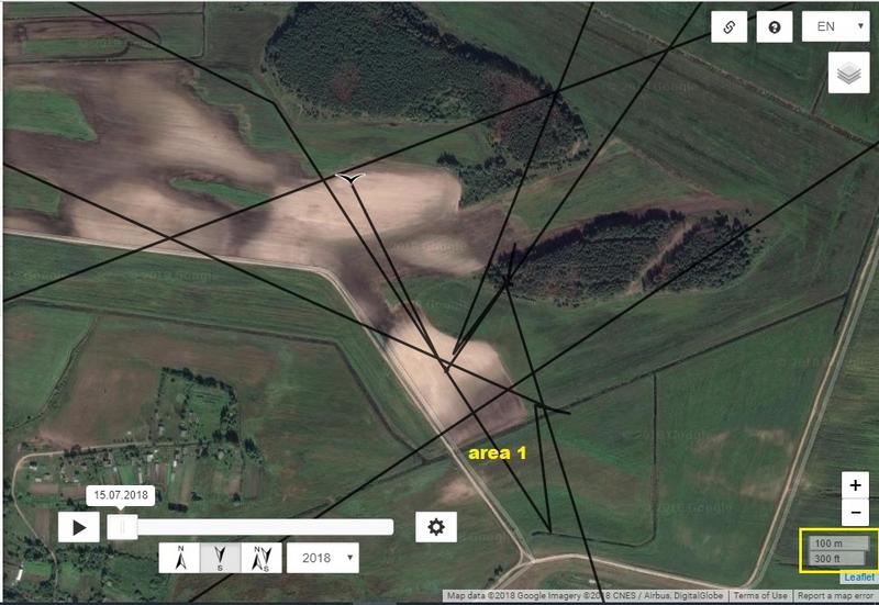
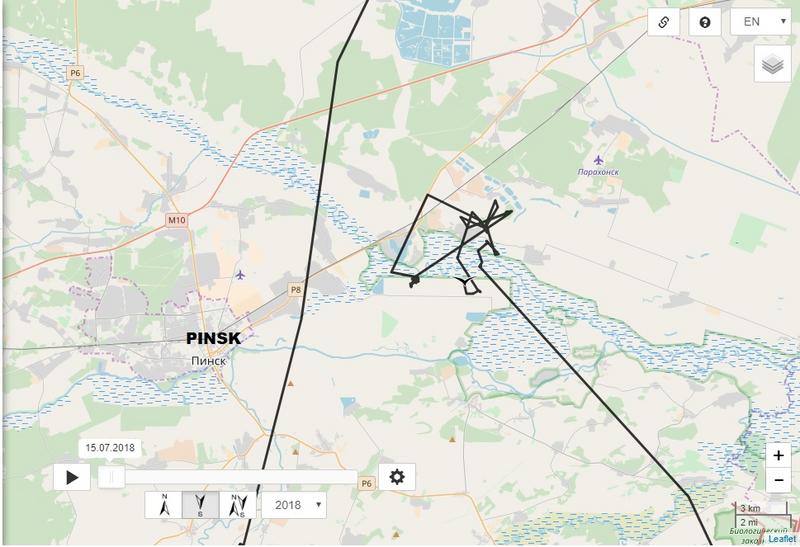
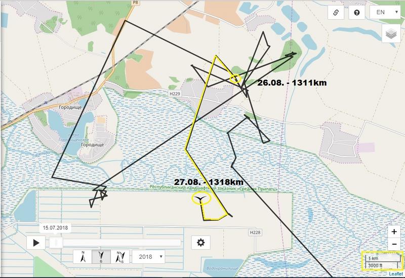
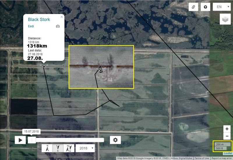
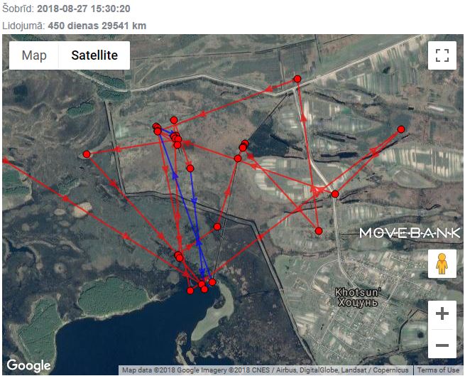
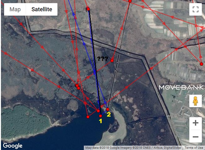
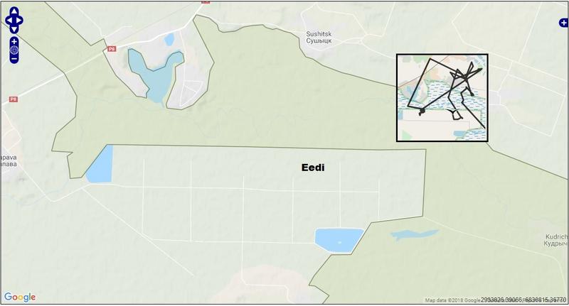
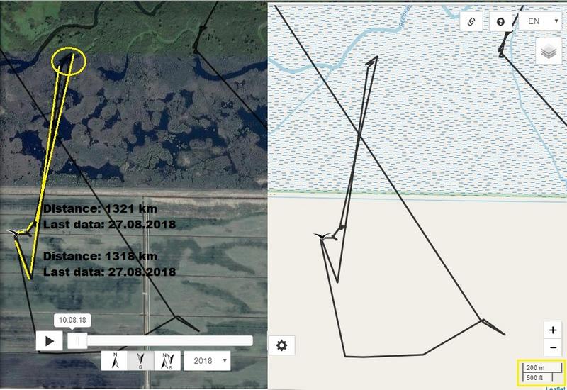
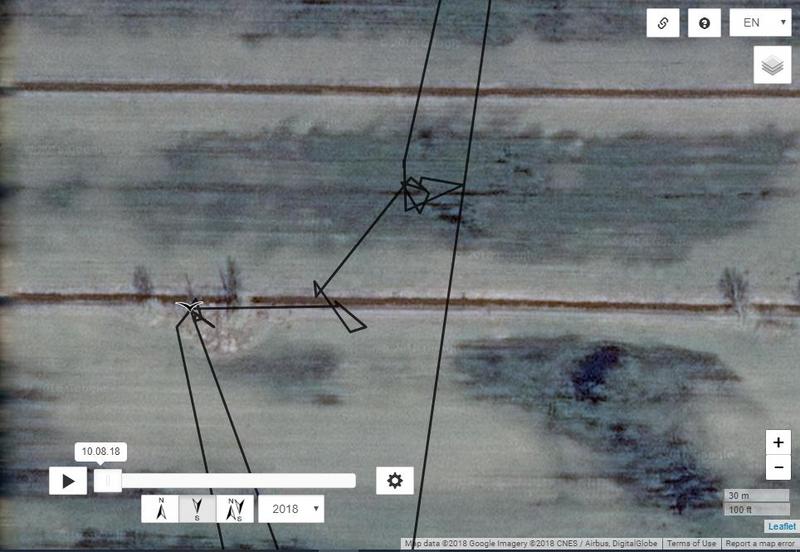
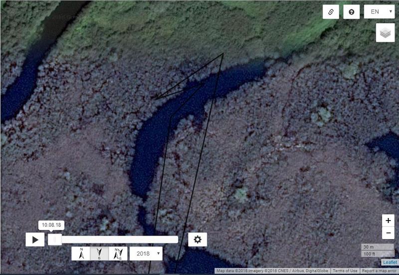
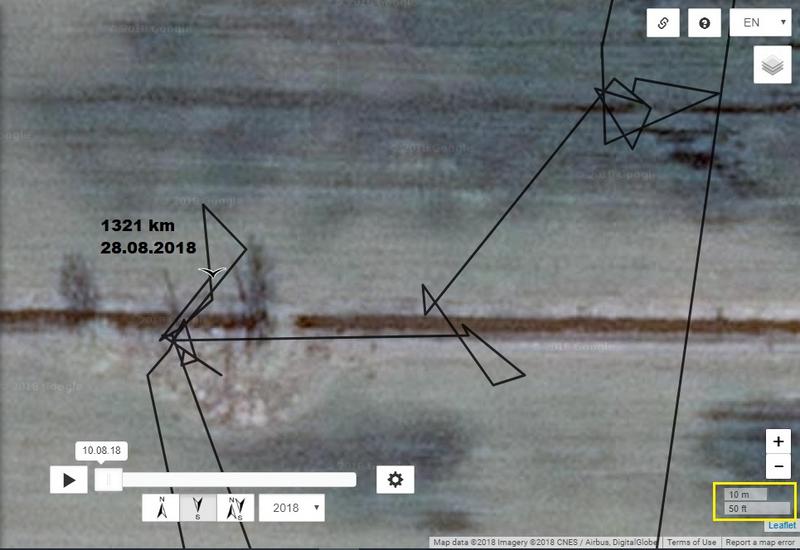
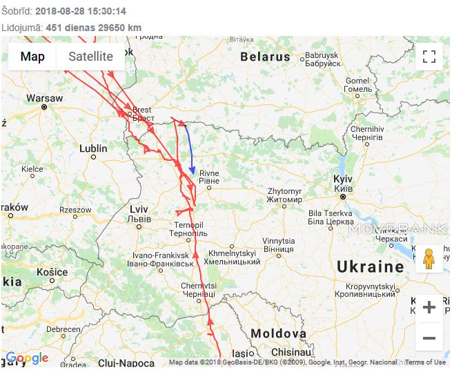
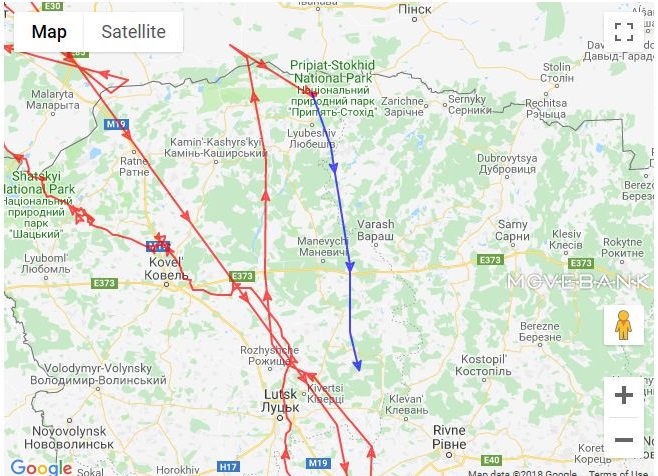
EEDI - Mid Prypiac' (This is an IBA in danger!)
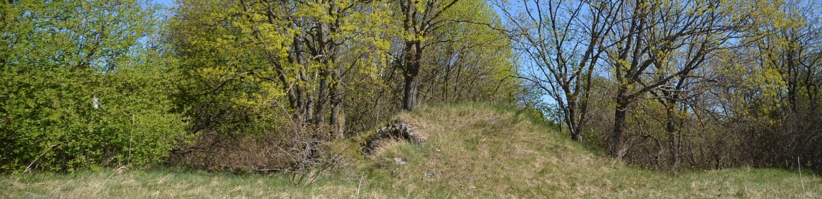
"The site is the largest floodplain tract of the main waterway of the Polesie region, i.e. the Pripyat river. The site is located between the mouths of the Yaselda and the Stviga rivers, and has preserved its naturalness well. The IBA is about 120 km long and 4-14 km wide. Natural vegetation covers about 92% of the IBA. The site is very important for its primeval floodplain forests and meadows." (http://datazone.birdlife.org/site/facts ... ba-belarus)
Image
http://datazone.birdlife.org/site/facts ... elarus/map
Solo
Registered user
Posts: 23861
Joined: October 19th, 2015, 7:18 pm

Post by Solo »

Summi wrote: August 27th, 2018, 10:10 pmWho knows - Eedi and Mare in the same area may have had a :gathering: 8-)
:2thumbsup: :rotf:
:wave:
Solo
Registered user
Posts: 23861
Joined: October 19th, 2015, 7:18 pm

Post by Solo »

EEDI
plus 3km

field - wetland - back on tree
Image

(better - green :laugh: : https://s22.postimg.cc/a5ujnsnbl/2_E_trees.jpg)
Image

Image
Solo
Registered user
Posts: 23861
Joined: October 19th, 2015, 7:18 pm

Post by Solo »

August 28
Good mornig Liz, Hellem,Summi and all :hi:

EEDI update
plus 0km

after night on the way to ....
Image
Solo
Registered user
Posts: 23861
Joined: October 19th, 2015, 7:18 pm

Post by Solo »

MARE goris.lv
Mare is now very probably also on the way to Africa
plus 109km

Image

today path
Image
Post Reply

Return to “Migration Maps and News”