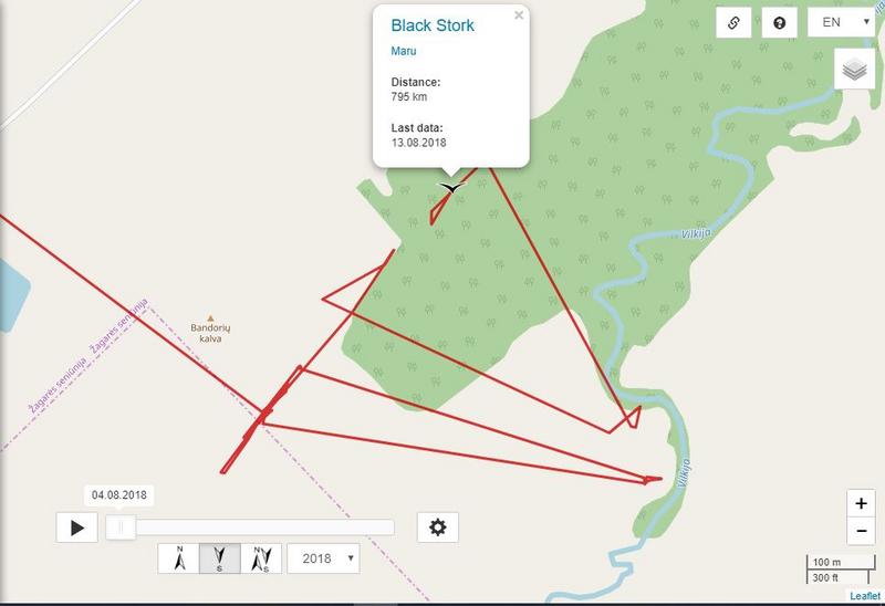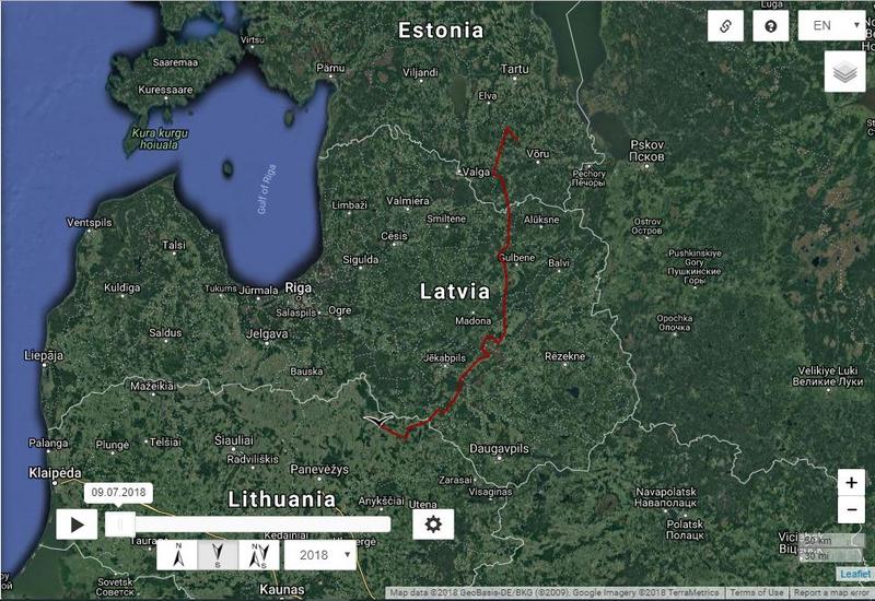
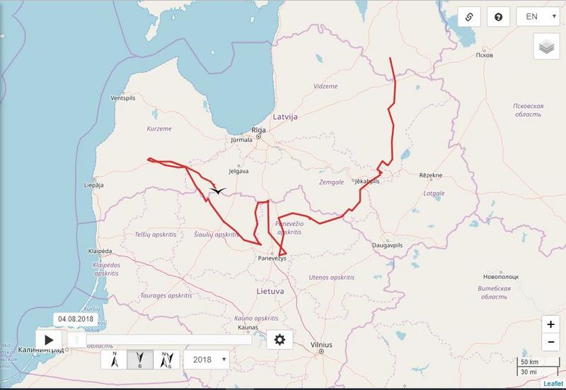
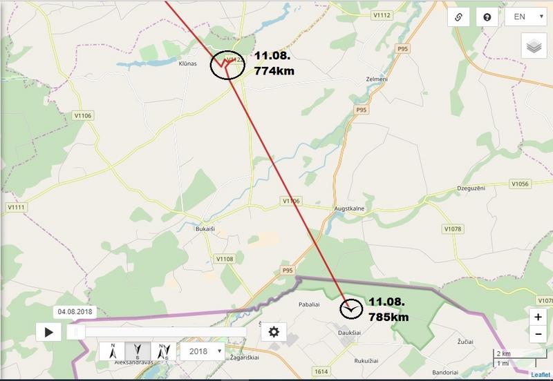
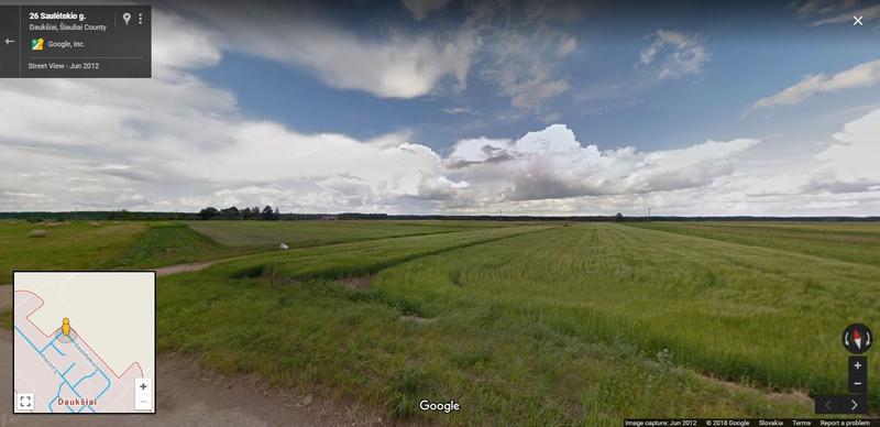
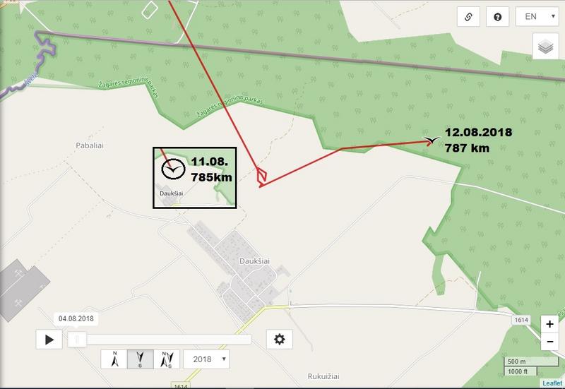
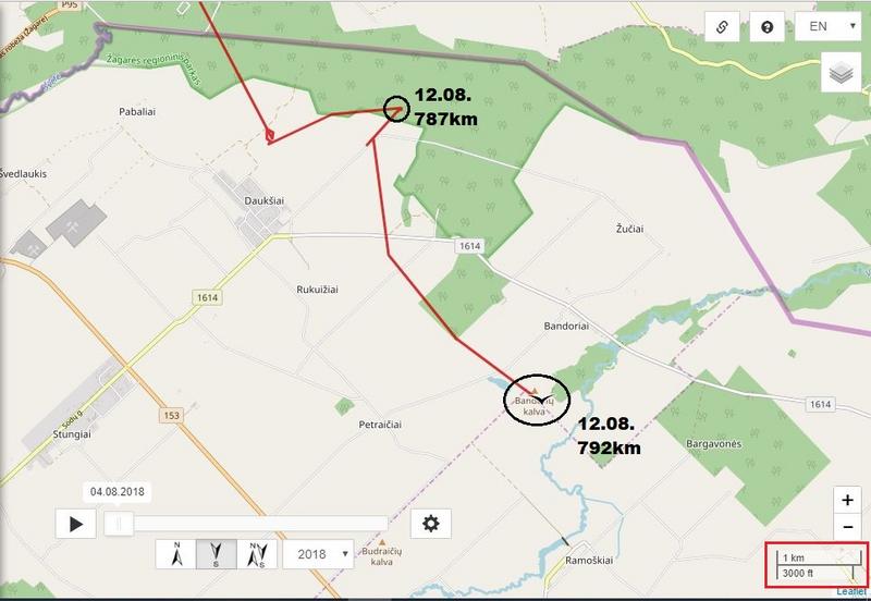
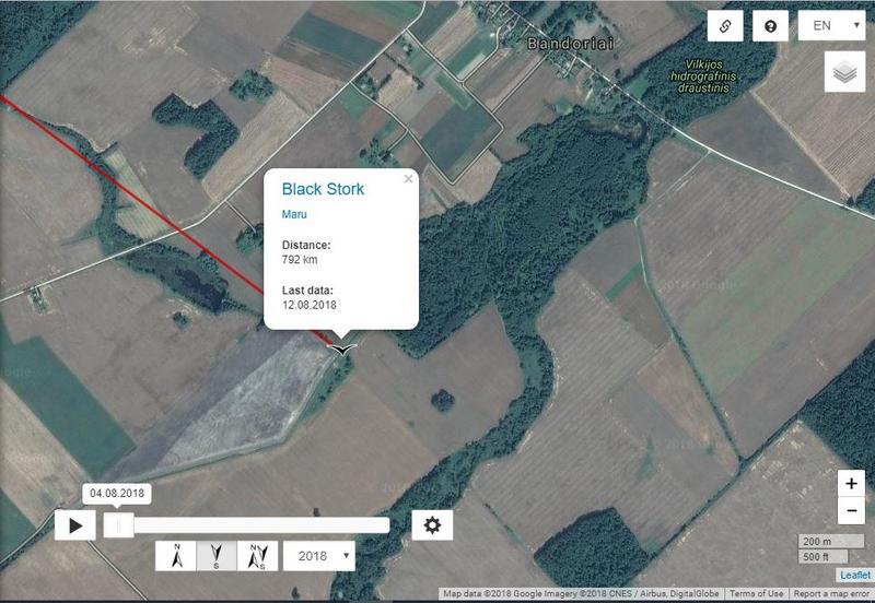
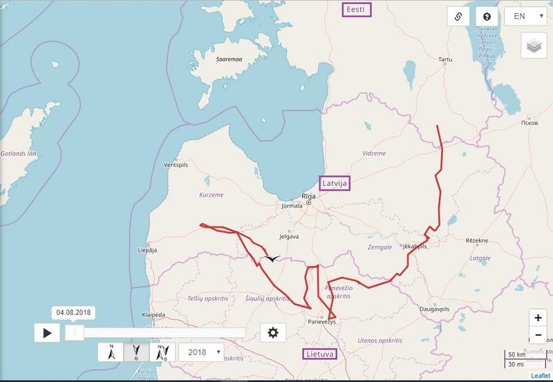
Maru is back in Lithuania, near Daukšiai. 785 km (+ 11 km)
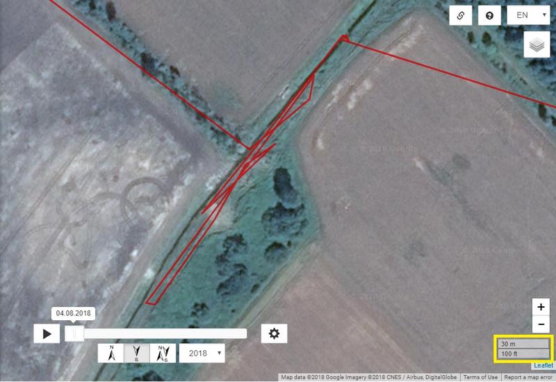
She/he flies and flies.


Hi Solo
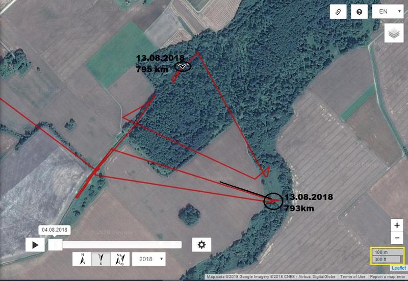
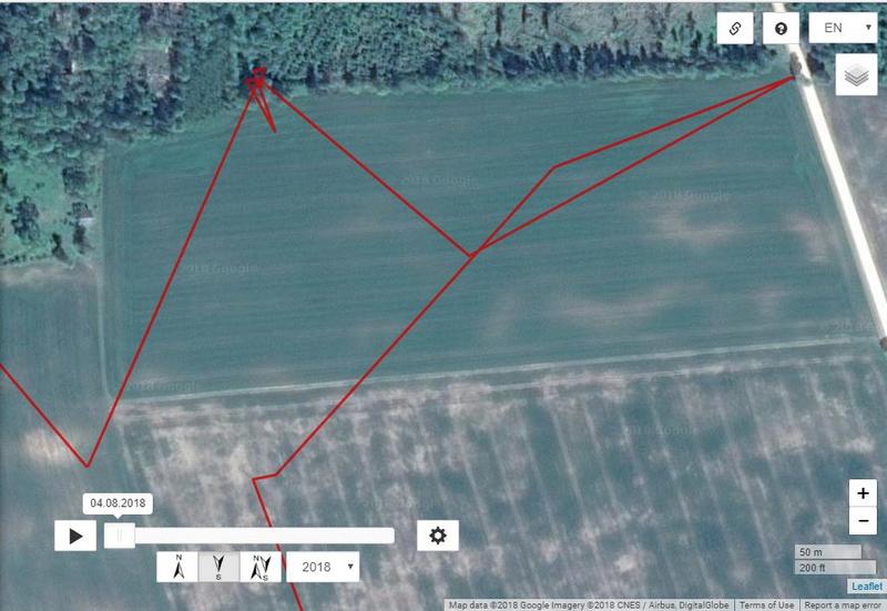
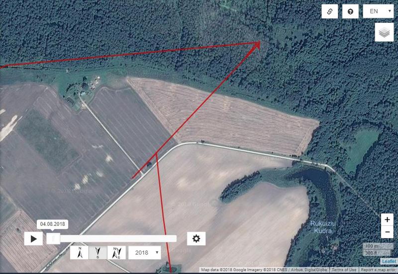
kuhankeittäjä wrote: August 13th, 2018, 4:59 pm ... Do you have any coordinate examples of utilizing thermal upward streams of air?...

Juta, but yesjuta wrote: August 13th, 2018, 6:09 pm ...I am not a specialist but don´t think that transmitters on birds provide such specific data you ask.