


New Cameras
Map of the Year 2015
Translation Liis
The dedication of a year to particular species of animals, birds, fish, insects, fungi and bacteria is becoming increasingly popular; colours and musical instruments, soils and rocks are selected. Geographical maps are doubtless an eminent part of culture and science that the general public tends not to have very detailed information about. For that reason the cartographers of the University of Tartu have decided to join the public enlightenment campaign and have started selecting a map of the year. The enterprise should demonstrate the values of a variety of cartographic works, representations, projections etc , at the same time also introducing them over an period of time.
The map declared as map of the year will be explored throughout the year. As map of the year the values of the map will be brought out, and its uses emphasized and extended. Each month will have a theme dedicated to this map where we also look forward to participation from the public, such as interesting cartographic discoveries, reflections, texts or as some other enterprise that can be both seriously scientific or entertaining. The themes will be introduced on the ESTGIS and UT Department of Geography website and also on Facebook.
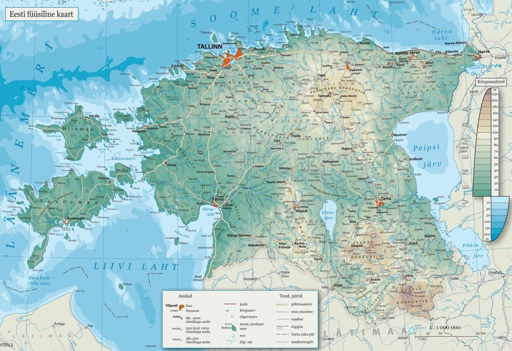
The first, the 2015 map of the year, is the stately and classical PHYSICAL MAP OF ESTONIA, certainly known, but in modern times undeservedly left somewhat in the shade.
It is a map with very long traditions: from this as a rule you learn to know your homeland. It is also a map which often is used as basis for other maps. The physical map has a distinct face different from general geographical and topographical maps, and a myriad of details and nuances to delight those who are interested in maps again and again.
See the website of the Estonian Geoinformation Society (Eesti Geoinformaatika Selts): LINK